Tapestry Segment Information by County and Municipality
Who Makes Up the Kerr-Tar Region?
 Region K counties are comprised of individuals and families from a variety of backgrounds and cultures. Whether a Rural Resort Dweller; Southern Satellite; or Rural By-passer, all call the region home. Please refer to the Tapestry Segments provided by ESRI here for more information. County information click here and Municipal Tapestry information may be found by clicking here and the marketing profiles are found here.
The Towns of Youngsville and Stem were named as an emerging municipality according to Carolina Demography. The access the full report, please visit by clicking below:
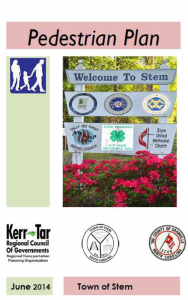
Youngsville is located in Franklin County and Stem is located in Granville County. Both municipalities are member governments served by Kerr-Tar Regional Council of Governments.
Key Facts
 Key Facts for each city/town are shown in alphabetical order when you click here.
Demographics
City and Town Demographics can be viewed by clicking here. City/Towns are listed in alphabetical order.
 Demographics have been updated for each county within the region. To secure the updated summary for a particular County simply click on the desired county to review the information. Franklin, Granville, Person, Vance and Warren.
Additional demographic information regarding population, housing, etc. can be accessed by clicking on the corresponding county for their informational link. Franklin, Granville, Person, Vance and Warren.
Planning
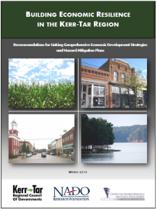
Successful regions understand all of their potential resources and link these together for the betterment of all residents, visitors, and businesses. Community planning encompasses strategies that link economic development, environment, land use and transportation, systematically working through opportunities and constraints to achieve solutions to our region’s most pressing issues.
The KTCOG is involved in community planning, providing planning assistance to Kerr-Tar counties, municipalities and citizens in the development of small area plans and other community design issues. This is accomplished by providing local assistance in comprehensive plans, providing training and workshops, and planning and hosting charrettes and workshops.
 The COG Planning Department houses the Kerr-Tar Regional Planning Organization (RPO) and is responsible for providing transportation planning service assistance to the region. Additionally, staff can assist with a myriad of land design and planning tasks, including:
- Hazard Mitigation Plans – A comprehensive planning process of identifying hazards and vulnerabilities, and developing plans and implementation strategies to reduce hazardous impacts
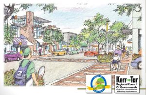
- Corridor & Gateway Plans – A plan analysis examining a small area or corridor from a visual, usage, and trend needs assessment
- Comprehensive Plans – Principal planning tool used by local governments to look at interrelationships between land uses, transportation, utilities, recreation, neighborhood revitalization, historic preservation, and other community elements.
- Long Range Land Use Plans – Plans similar to comprehensive planning, with more focus on trend forecasting and needs assessments
- Ordinance Drafting – Technical writing and preparation of a planning/zoning/subdivision or related ordinance document
- Landscape Architecture & Streetscape Design – Visualization planning documents that address area aesthetics, architectural style, and design standards
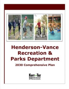
- Recreation, Open Space, & Park Planning – A functional plan that looks at how recreation departments function currently and in the future
- Survey Coordination, Public Outreach, & Workshop Facilitation